Neighbourhood Paths via GPS
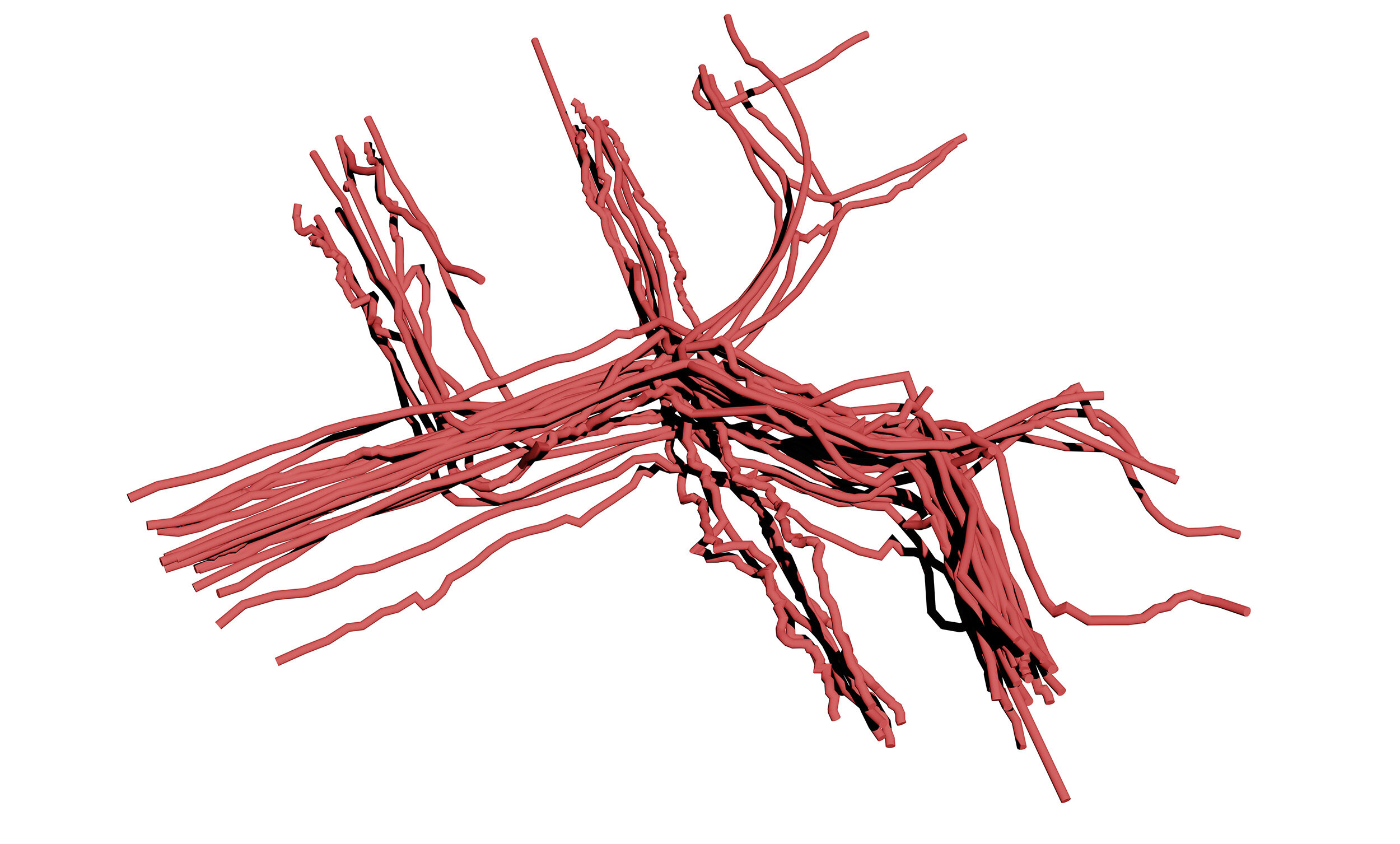
Because I was curious to see what a human path looks like in space-time, I carried a GPS device as I went on my nightly walks around my neighbourhood for almost 160 nights.
Over this time, I logged over a million GPS points, and also asked my parents to do the same. From the data which emerged I created a number of maps, models, and visualizations. Below is a selection of visualizations of the data, showing the worldine “path”, as a physical tube to invoke the sense of the space we travel, and to give it form.


More information about this can be found in Ariadne's Thread.